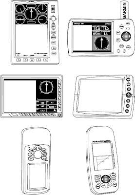
Did an illustration for an article on the various gps systems that can be used by helicopter pilots. The author is trying to show how the screens and knobs vary and there is no standard for usage. Not something I would personally think about, but there you have it.

2 comments:
Hi Jennifer,
I was just trawling through G-Images for some deign work I'm doing for my own website. I work in GIS, and although it's not something you'd personally think about, I'd be pretty worried getting into a helicopter with a pilot who didn't know where his knob was.
;~) Point well taken! Not planning on any helicopter travel any time soon, but now will only think of that!
Post a Comment